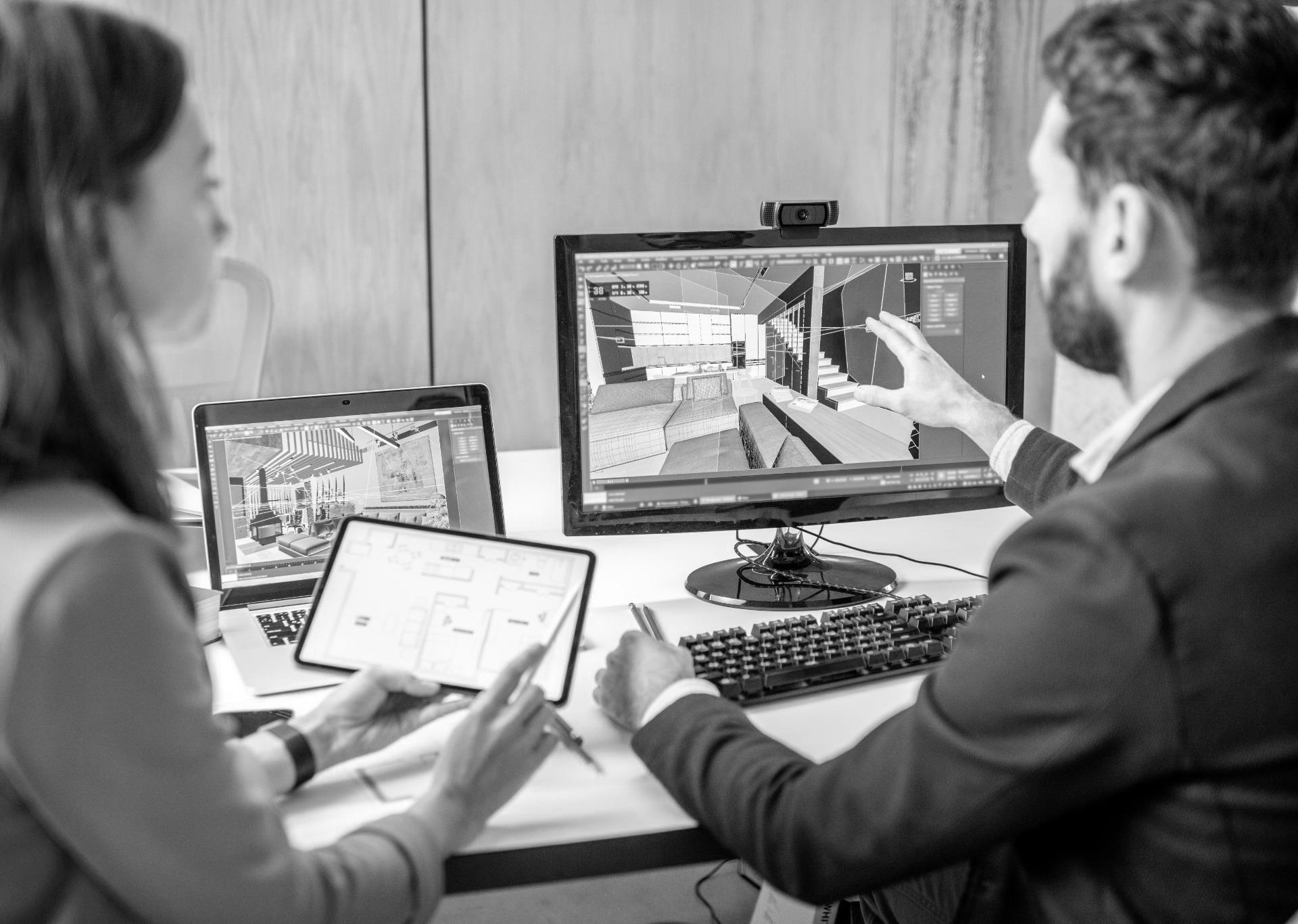
Organize 360° Tours, Photos, Laser Scans & Info Points
for Seamless Planning & Collaboration
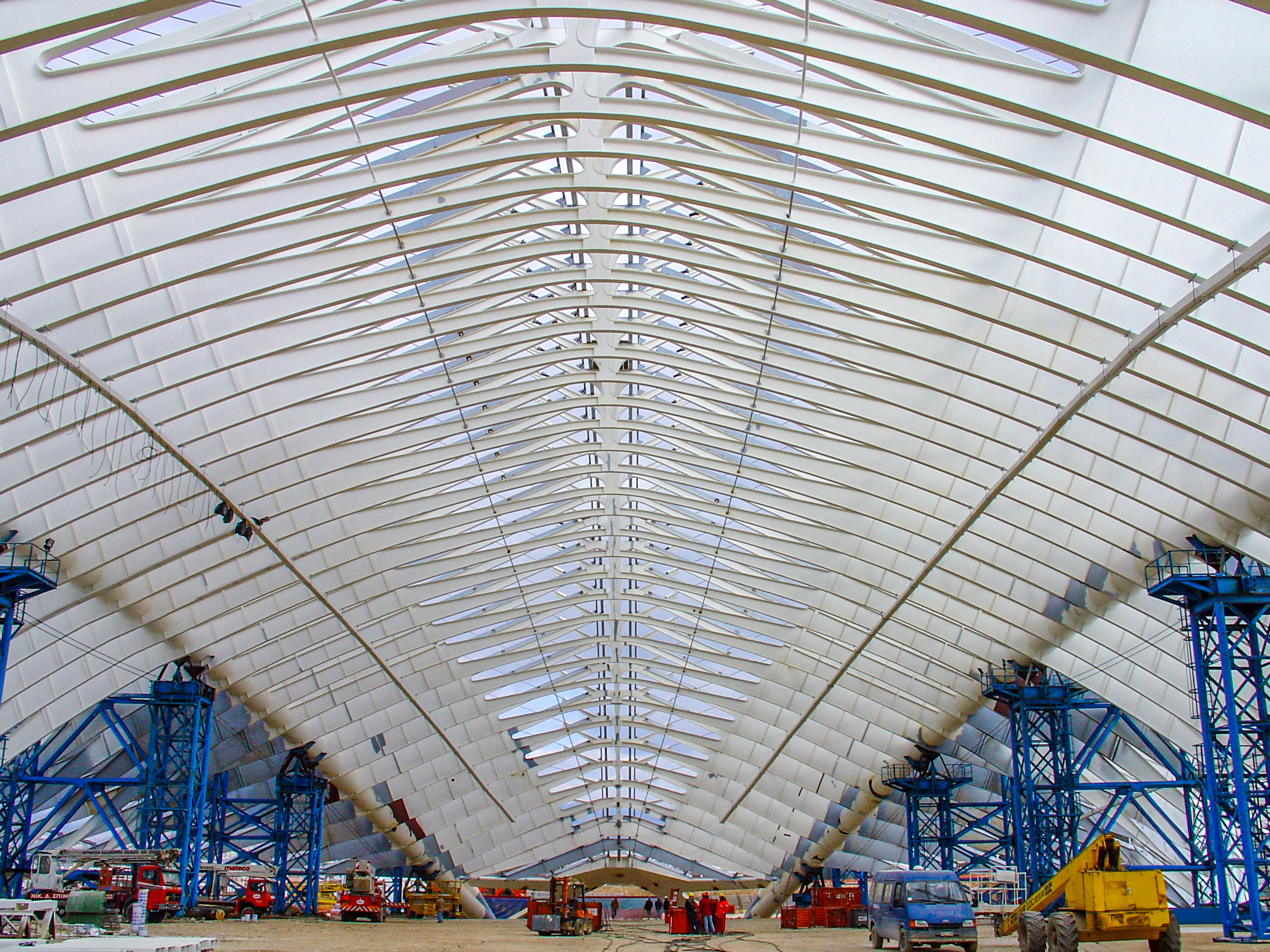
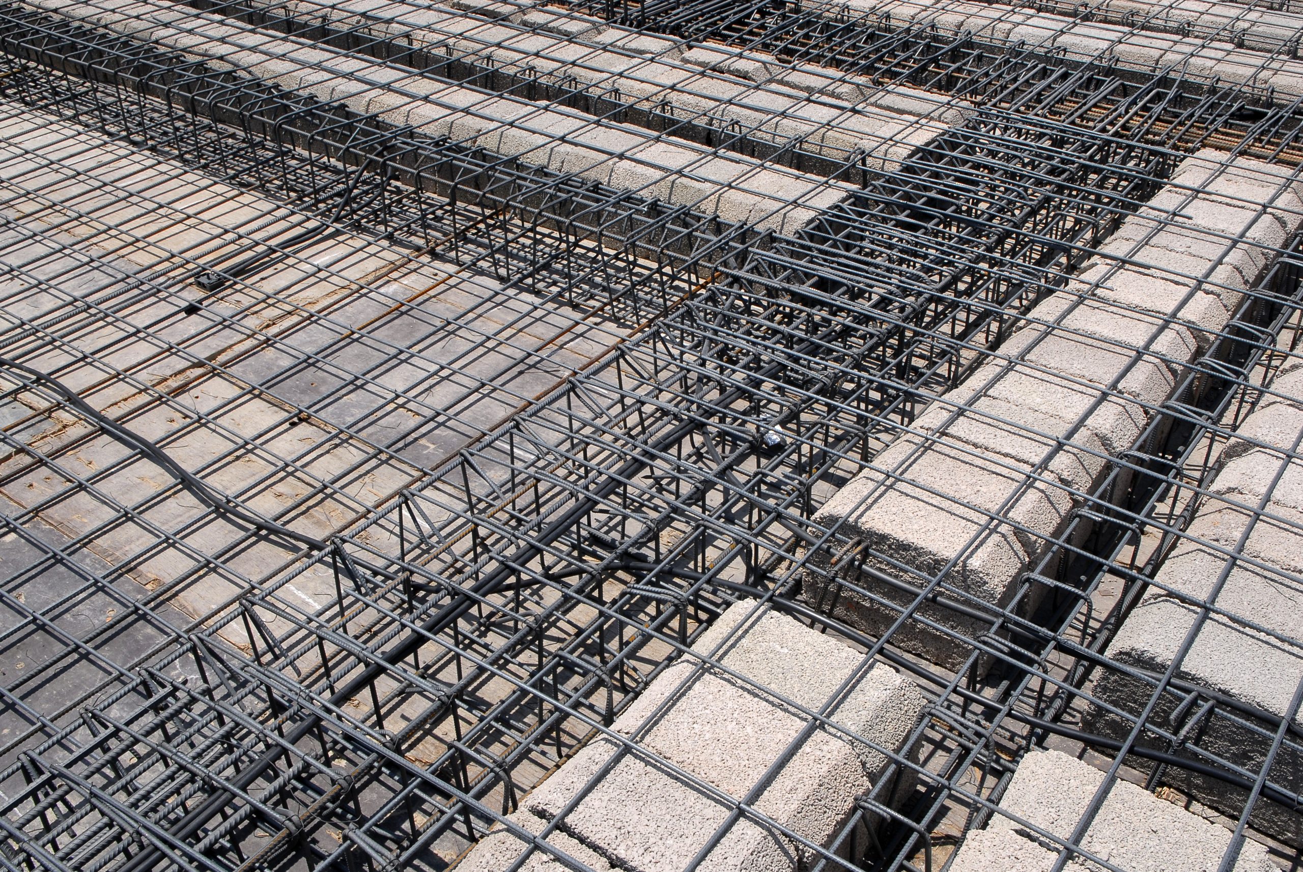
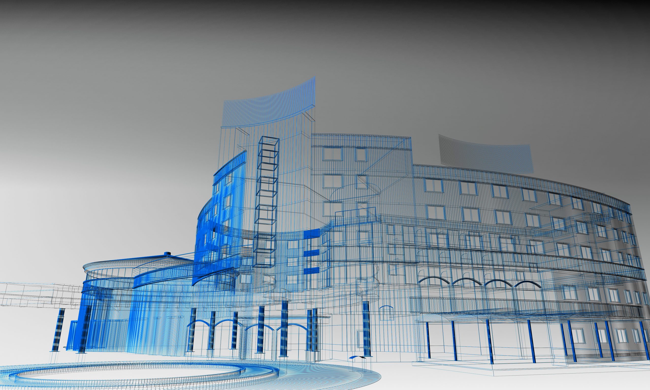
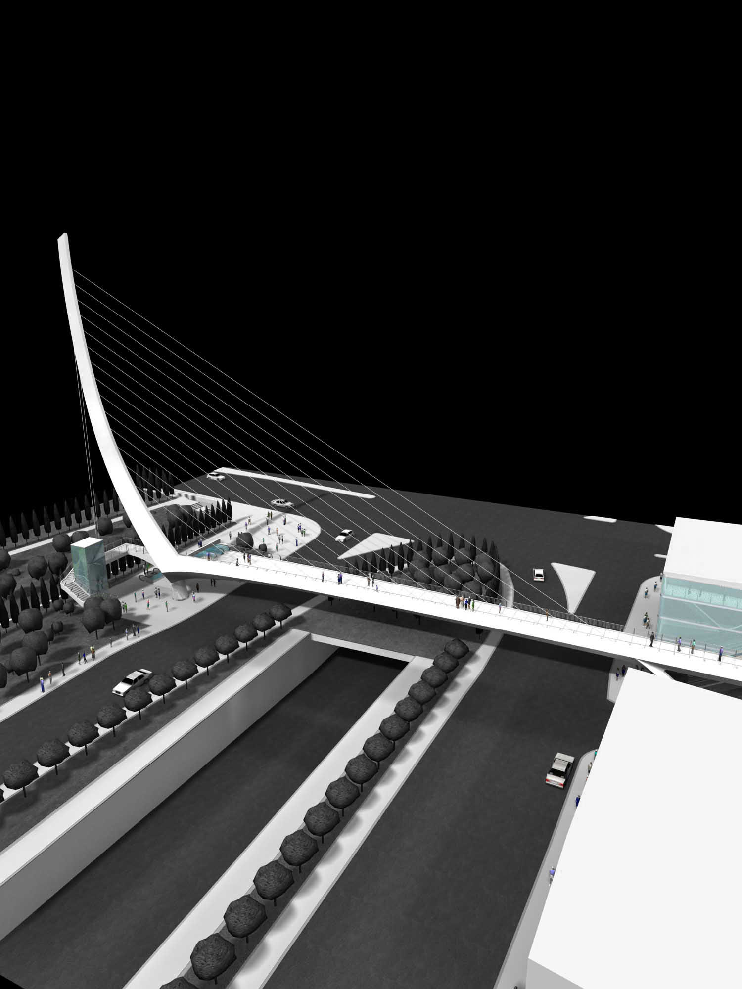
Architecture and engineering projects generate massive amounts of visual data – if it’s not organized, it becomes a challenge.
From early concepts to construction and handover, a structured approach to managing laser scans, photos, panoramas, and documents helps teams stay in control, reduce errors, and protect against costly misunderstandings.