Create Navigable Virtual Tours and Manage Your Projects with Ease

You already capture the data. vıınplan helps you organize it, deliver it, and make it work harder.

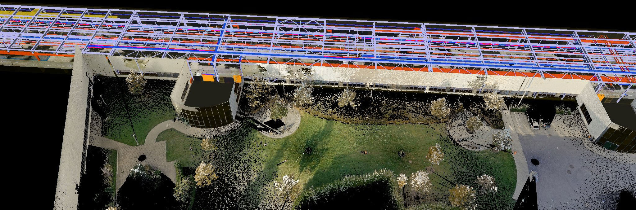
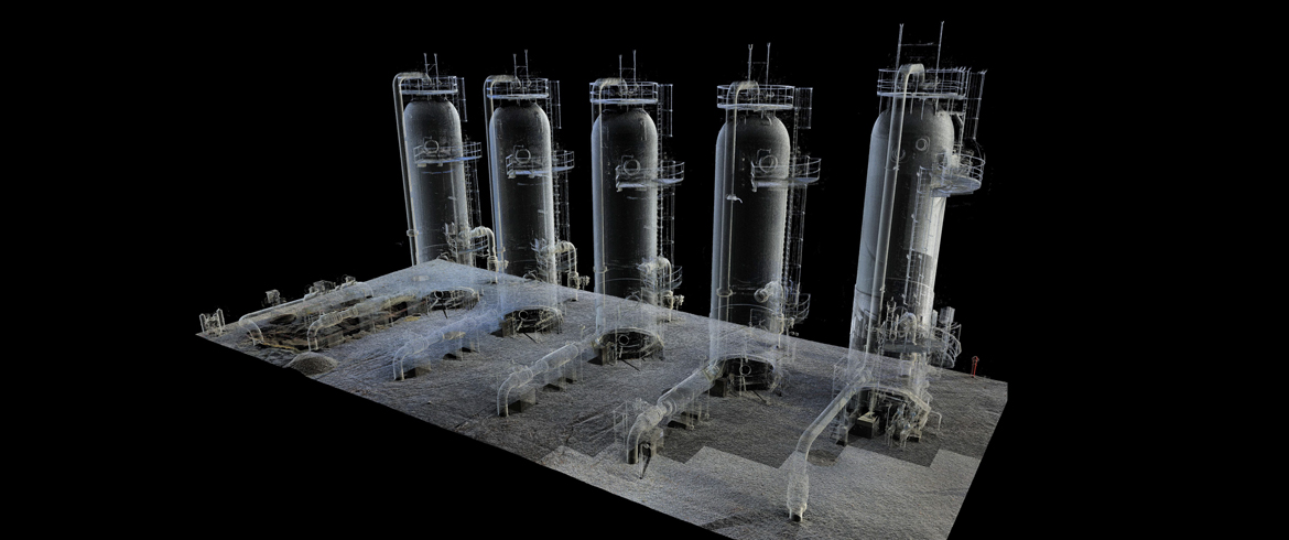
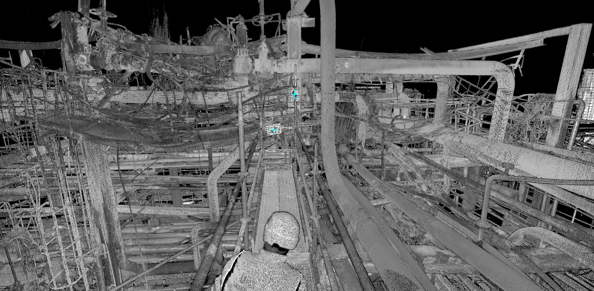
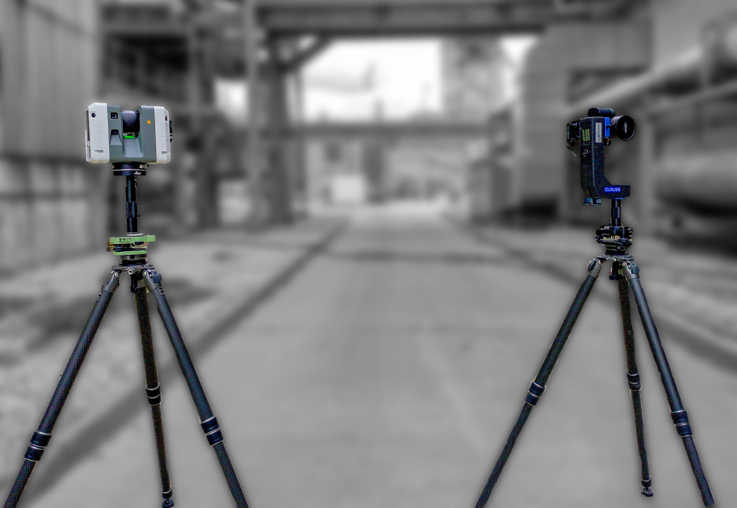
Laser scanning is just the beginning. What matters to your clients – and to your business – is how clearly and effectively you turn that data into something usable.

Vıınplan is the platform that transforms raw laser scans, 360 degree panoramas, photos and documents into structured, interactive site records. It helps you manage, navigate, and share complex datasets – saving you time, reducing rework, and delivering clear, professional results that clients can actually use.

Vessels and piping in an industrial plant captured with 3D laser scan survey

SUCCESS STORY

Lloyd Hill company logo

With vıınplan, we can deliver our laser scanning projects in a way that’s both professional and flexible. Whether our clients need cloud access, offline delivery, or secure internal hosting, we’re able to meet their needs quickly and at scale—all while maintaining the high standards we’ve built our reputation on. Justin Hill Director Lloyd & Hill Professional Land Surveyors

Binoculars representing visualization and contacting Viinplan

VISUAL SEARCH & NAVIGATION

Two people reviewing a 3D rendered design, contact us for more information about Viinplan

HOW CAN WE HELP?

If you prefer send us an email